Arimae in the News for Forest Carbon Inventory Project

Arimae and its forest reservation were recently featured in a blog and a video feature related to forest monitoring. Planting Empowerment supports the building of this skill set within the community as a manner to generate better land management planning.

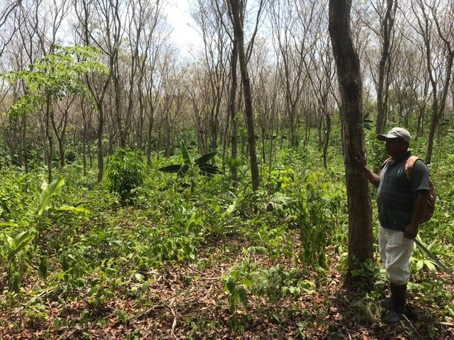
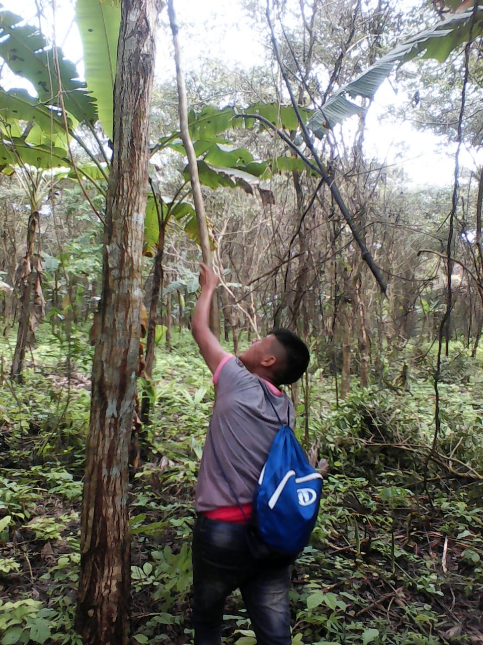
The blog through written by the Environmental Defense Fund, Organization of Embera and Wounaan Youth of Panama, and the Smithsonian Tropical Research Institute describes the forest monitoring training and data collection that took place in early April. It was the first of many training and data collection plots that would be done through Indigenous Territories throughout eastern Panama. The results of the data collection and training process will probably be presented at the UN Framework Convention on Climate Change conference being held later this year in Lima, Peru.

The UN-REDD program of Panama released this video of a different type of forest monitoring that was executed in Arimae’s forest reserve. The video includes a number of interviews with members of the Arimae community with whom Planting Empowerment has collaborated with for a number of years. The video also includes some interesting filmography done from a drone which shows some great shots of the community and the deforestation that is taking place in their reserve.

We’re encouraged to see this type of activity happening in Arimae’s collective lands because they help the community conserve its remaining, but dwindling, forest reservation.

Forest Carbon Map of Panama

Overview of creating Panama's forest carbon map. Video courtesy of Carnegie Institution for Science

Last week the Carnegie Airborne Observatory (CAO) announced that a team of remote sensing scientists had completed a forest carbon map of the entire country of Panama.

This is the first carbon map of an entire country, and we hope will lead the way to assessment of forest carbon stocks in other countries. The map helps to demonstrate more tangibly a critical service provided by the forest: the storage of carbon, which becomes CO2 when trees and vegetation are burned.

The map could also be a valuable tool for indigenous communities, including our partner community Arimae, if the REDD program becomes a reality in Panama. The map will help them to understand the financial value of the carbon in their remaining forests. REDD program payments represent an additional income stream for Indigenous communities, in addition to revenue from the tropical woods and plantains we’re growing.

The CAO team flew over parts of Panama using a sensor called LiDAR to gather data and then combine it with satellite imagery to create the new map. Greg Asner, lead for CAO, collaborated with the Smithsonian Tropical Research Institute (STRI) to collect the field measurements. STRI is working with many Indigenous groups, including Arimae, to teach them how to do the field measurements that are used to further calibrate the LiDAR readings. This National Geographic article gives a good overview of his work.

Panama is lucky to have this asset, and we hope that policymakers and the Panamanian Ministry of Environment put it to use for the benefit of Indigenous communities.

REDD in Panama

How should REDD work in Panama? The basics are that it should:

  • Be a national system (potentially nested with a definite end for projects);
  • Ensure the majority of the benefits reach those living in the forests.
  • Not count enhanced forest carbon sequestration that comes from plantations (monoculture Teak, Oil Palm).

Why a national system? Independent projects are great, but they will just push the deforestation around the country - leakage, in other words. If these projects are to be included, it should be within a "nested" approach. This means that projects have a set amount of time (between 5-7 years) to merge their project into the national system, or "nest" it.

Read More

How do we engage carbon markets?

We sat down with the Forest Carbon Portal to discuss Planting Empowerment's innovative approach to forestry and carbon offsetting. This interview provides details about our tree plantations and the local communities' involvement in forest-carbon projects. The Forest Carbon Portal is an excellent resource for learning about terrestrial carbon capture projects around the world.

English

Espanol

Palm Oil Plantations and REDD

The European Commission and some EU member states are pushing for palm oil plantations to be classified as "forest" (Full story) Per the current definition of forest from the UN, palm oil plantations would qualify as if they covered "any area larger than 500 square metres with crown cover of 10 per cent and trees [were] capable of growing two metres high." The Indonesian Forestry Ministry is also pushing to classify palm oil plantations as forest. See the full article at the Jakarta Post. The question of what constitutes a forest is a topic for another post, but these headlines have some interesting implications for potential REDD+ (Reducing Emissions from Deforestation and Degradation) projects.
Read More