Forest Carbon Map of Panama
/Overview of creating Panama's forest carbon map. Video courtesy of Carnegie Institution for Science
Last week the Carnegie Airborne Observatory (CAO) announced that a team of remote sensing scientists had completed a forest carbon map of the entire country of Panama.
This is the first carbon map of an entire country, and we hope will lead the way to assessment of forest carbon stocks in other countries. The map helps to demonstrate more tangibly a critical service provided by the forest: the storage of carbon, which becomes CO2 when trees and vegetation are burned.
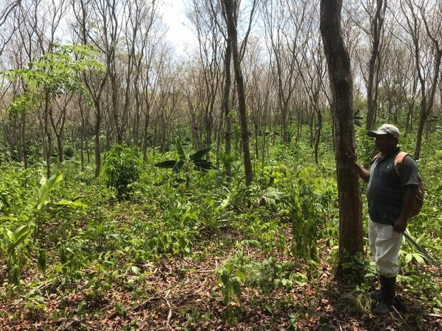
The map could also be a valuable tool for indigenous communities, including our partner community Arimae, if the REDD program becomes a reality in Panama. The map will help them to understand the financial value of the carbon in their remaining forests. REDD program payments represent an additional income stream for Indigenous communities, in addition to revenue from the tropical woods and plantains we’re growing.
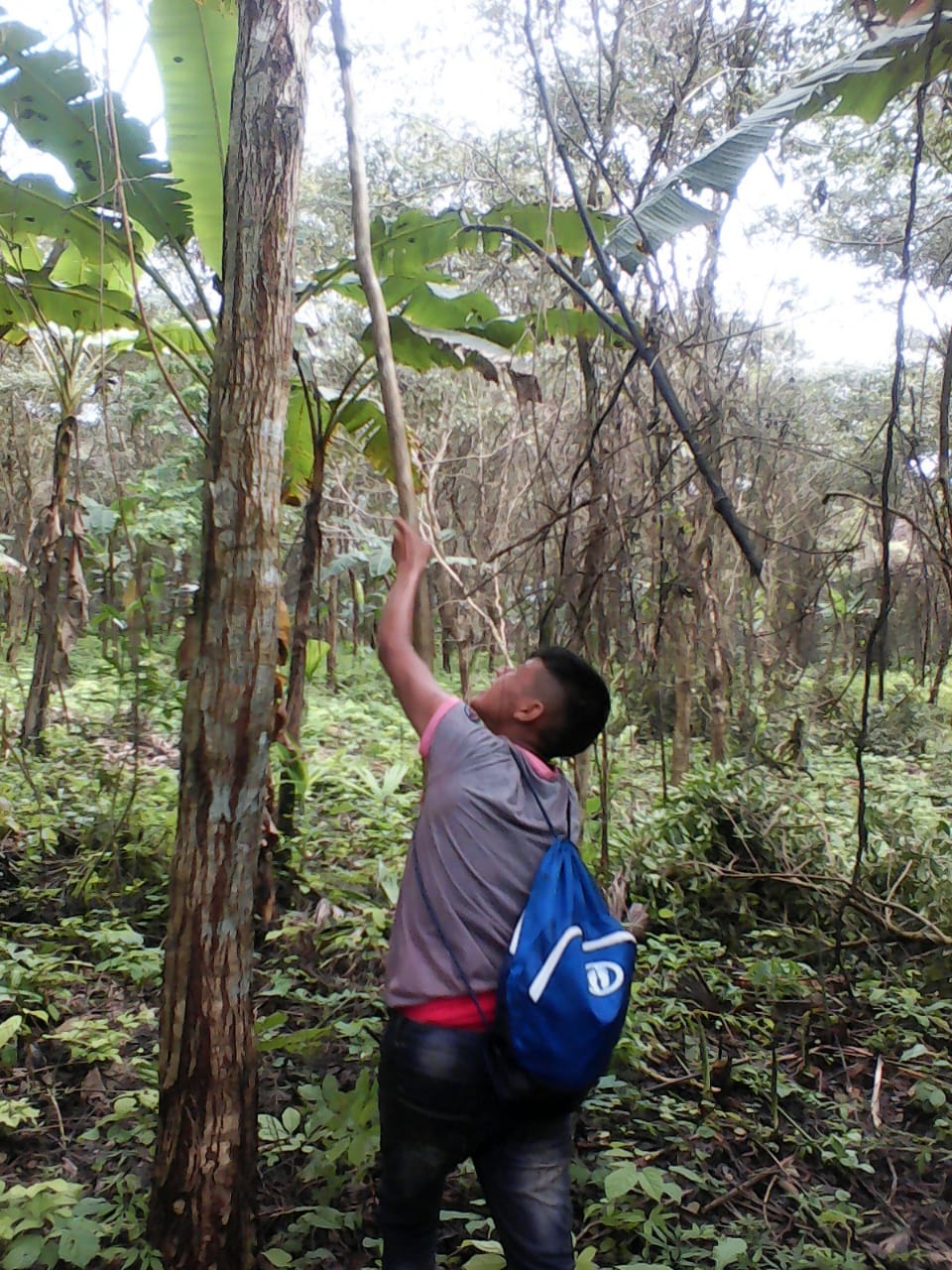
The CAO team flew over parts of Panama using a sensor called LiDAR to gather data and then combine it with satellite imagery to create the new map. Greg Asner, lead for CAO, collaborated with the Smithsonian Tropical Research Institute (STRI) to collect the field measurements. STRI is working with many Indigenous groups, including Arimae, to teach them how to do the field measurements that are used to further calibrate the LiDAR readings. This National Geographic article gives a good overview of his work.
Panama is lucky to have this asset, and we hope that policymakers and the Panamanian Ministry of Environment put it to use for the benefit of Indigenous communities.


